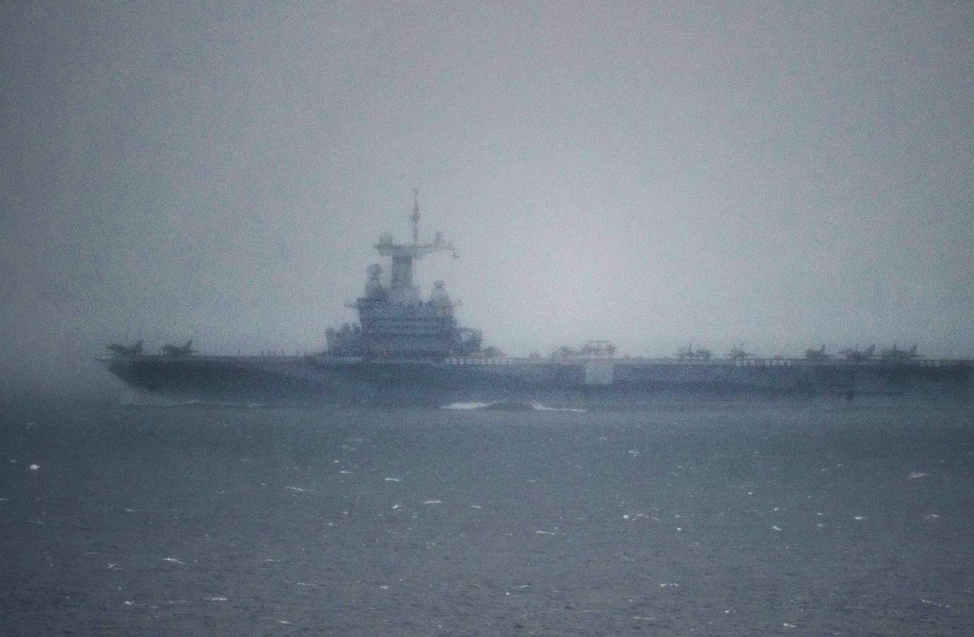
A French Navy officer's 36-minute workout data on Strava accidentally exposed the exact location of the Charles de Gaulle aircraft carrier in the Mediterranean.
The officer, who used a smartwatch to track his performance, ran more than seven kilometres in about 35 minutes while on the warship's deck.
The location of the vessel was meant to remain confidential, but its deployment to the region was a matter of public record.
Strava, a public fitness app, allows users to track their activities and share them with others.
The app's data visualisation map has previously been used to expose sensitive military information, including the locations of secret US bases.
Experts warn that soldiers using the app without proper precautions can be especially dangerous.