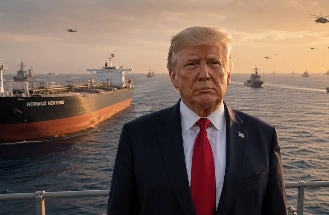
The Strait of Hormuz has been fundamentally redrawn in the eyes of Tehran, with the Islamic Revolutionary Guard Corps (IRGC) Navy expanding the operational area to a vast zone stretching from Jask to Siri Island.
The zone now covers an area 10 times larger than before, with Iranian media reports suggesting the effective width of the strait has expanded from 32-48 km to as much as 322-483 km.
The move comes amid a fragile ceasefire in the region, where the US has enforced a naval blockade to isolate Iranian shipping, and Tehran has threatened to shut down commercial transit through the Strait.
The Strait of Hormuz is one of the world's most important energy routes, with around one-fifth of global oil and liquefied natural gas passing through it every day.
The IRGC's new map has effectively placed parts of Omani and UAE territorial waters, along with internationally recognised shipping lanes, inside an Iranian security zone.