The Indian government has instructed states and union territories to begin demarcating forest boundaries digitally, a move aimed at addressing issues such as misclassification of forest areas, preventing encroachments, and resolving overlapping claims under the Forest Rights Act, 2006.
The directive, based on a 2011 Supreme Court order, requires the creation and regular updating of a GIS-based decision support database with coordinates of forests as defined in the Forest (Conservation) Act, 1980.
Only Odisha has completed more than 90% of the settlement and digitization process since 2011, according to environment ministry officials.
A workshop was organized on April 10 with participation from all states and union territories to address delayed compliance of the SC order.
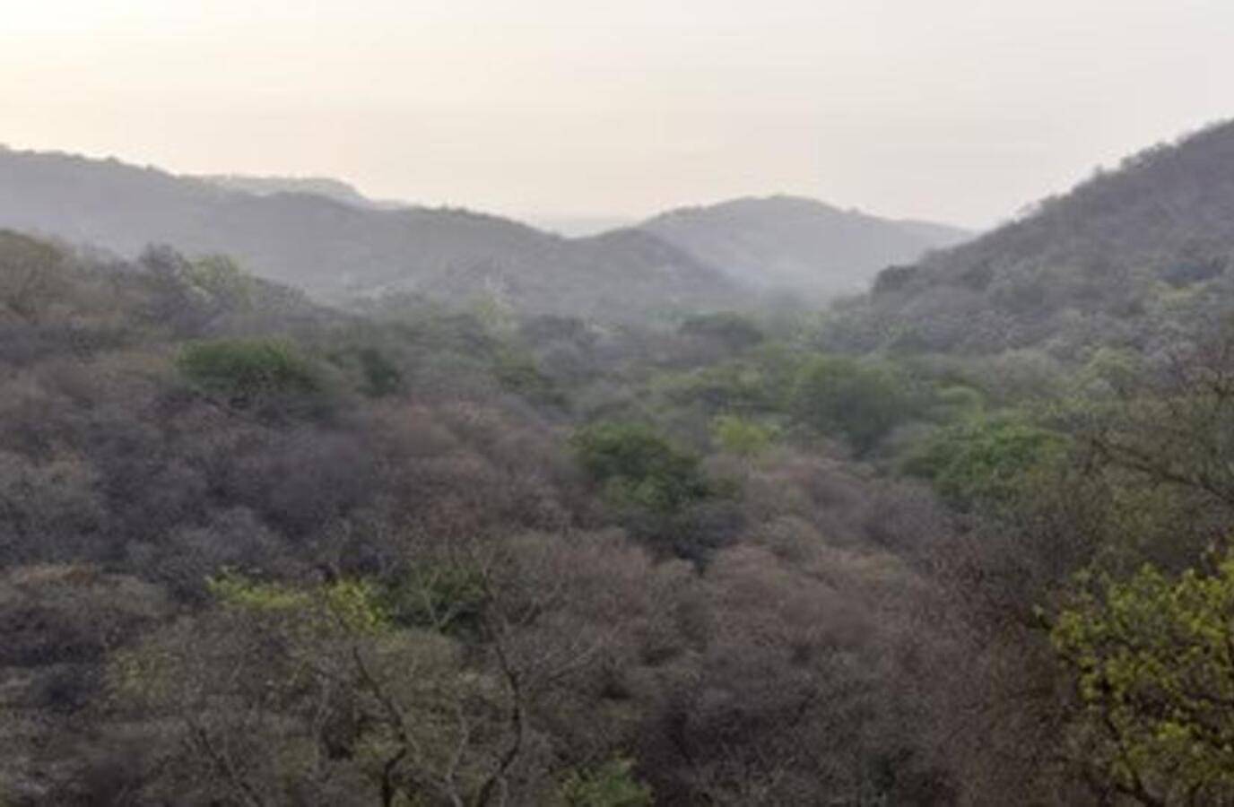
The demarcation process will also involve finalizing 'deemed forests' or areas that meet the dictionary meaning of forests as held by the Supreme Court in 1996.
States and union territories can claim funding for the exercise from Compensatory Afforestation Fund Management and Planning Authority (CAMPA) funds.
The initiative is expected to enable accurate identification of all forest lands, strengthen monitoring of forest diversions and compensatory afforestation sites, and protect customary and statutory rights.