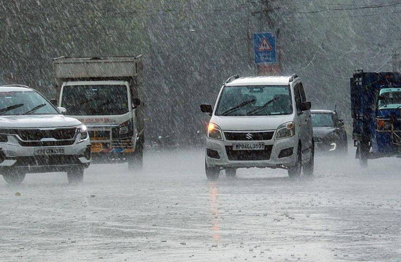
Thunderstorms and hailstorms have been battering northwest India, causing unseasonal weather even by pre-summer standards. Meteorologists attribute this to a disrupted polar jet stream and shifting polar vortex, leading to an unusual surge in western disturbances.
March saw eight western disturbances, exceeding the normal count of five to six, with at least three more expected through mid-April. This spike is striking, considering January and February saw far fewer WDs than usual, resulting in low snowfall across the Himalayas.
Western disturbances are moisture-laden cyclonic systems originating over the Mediterranean and traveling eastward along the jet stream. When the jet stream wobbles, it steers more of these systems into lower latitudes, including northwest India.
Scientists link the disruption to the polar jet stream to rapid warming of the Arctic, while a broader pattern reflects a structural shift in when WDs arrive, not just how many. Recent studies show that WD activity is getting shifted to the spring season, often with WDs occurring in April, May and June.
The immediate impact is forecast to intensify, with IMD warning of light to moderate rainfall over northwest India from April 2 to 5, and isolated heavy rainfall over the Kashmir valley on April 3. Thunderstorms and lightning are likely over central India through April 6.
Day temperatures across northwest India are expected to remain near-normal to below-normal through that period. The unusual WD pattern poses risks to standing crops and echoes the conditions that produced last May's deadly storms.