
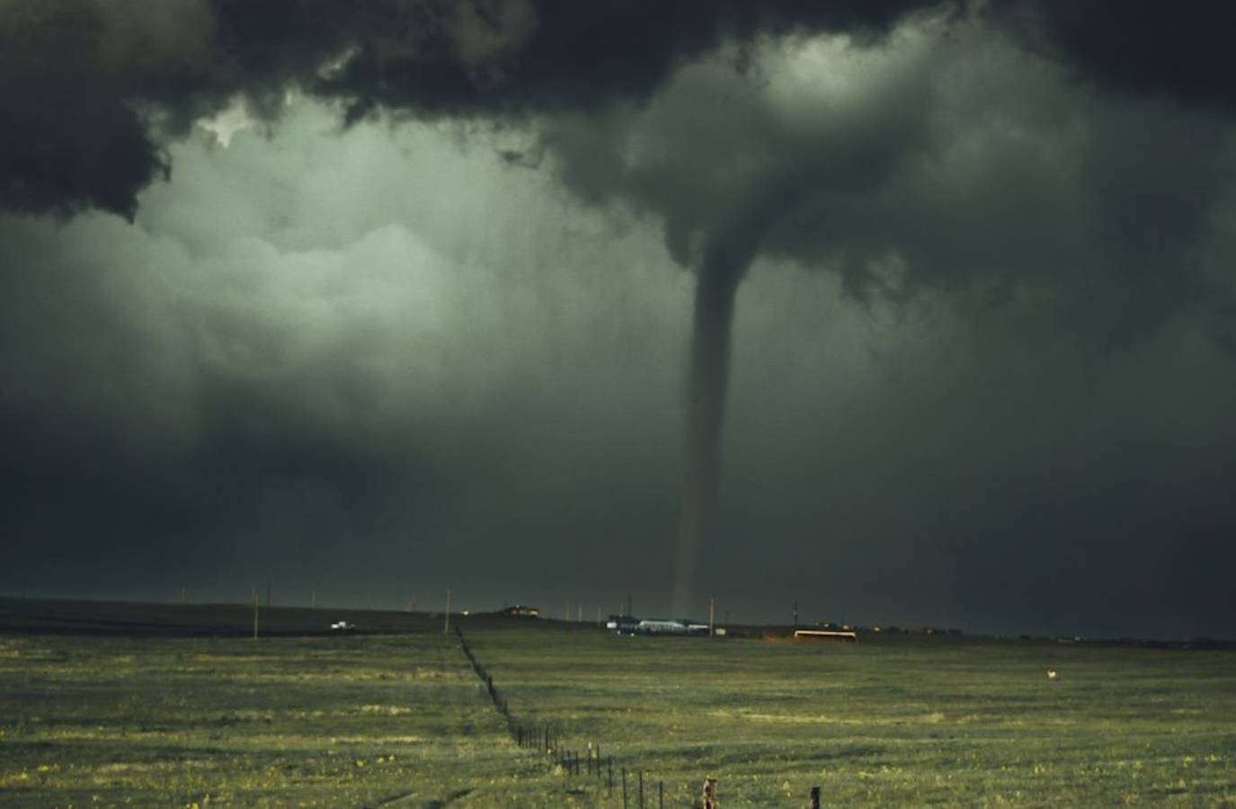
A severe thunderstorm with radar-indicated rotation spawned a Tornado Warning Tuesday evening for central Johnson and west-central Shelby counties in Indiana, threatening Franklin, Whiteland, Bargersville, and nearby communities south of Indianapolis.
The National Weather Service in Indianapolis issued the warning around 9:29–9:41 p.m. EDT on Tuesday, with the alert in effect until 10:00 p.m.
A storm near Franklin was moving east at roughly 35 mph, bringing risks of a tornado, flying debris, damaged roofs/windows/vehicles, tree damage, and hail up to three-quarters of an inch. It impacted areas along I-65.
Franklin is located 20 miles south of Indianapolis.
A severe thunderstorm warning remains in effect until 10 p.m. EDT for parts of central Indiana, including Johnson, Marion, Morgan, Shelby, Hancock, Brown and Bartholomew counties.
Residents in the affected areas are urged to seek shelter and remain alert for rapidly changing weather conditions.