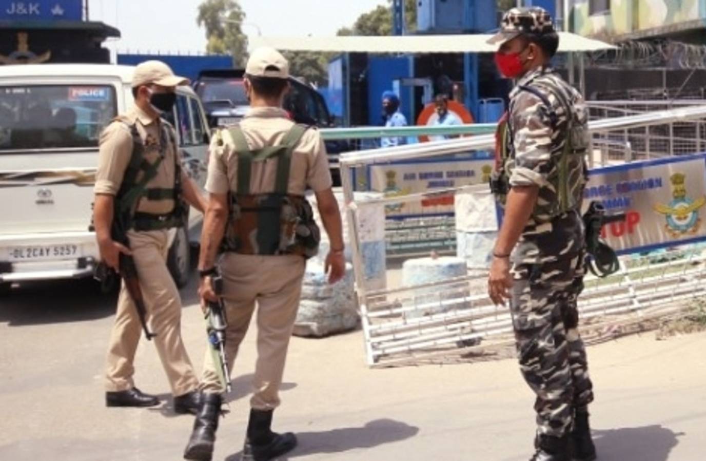
After a five-year delay, the National Capital Region's development plan was cleared for approval, setting the direction for the next two decades.
The Regional Plan 2041 was cleared at a meeting of the National Capital Region Planning Board (NCRPB) in New Delhi, chaired by Union Housing and Urban Affairs Minister Manohar Lal Khattar.
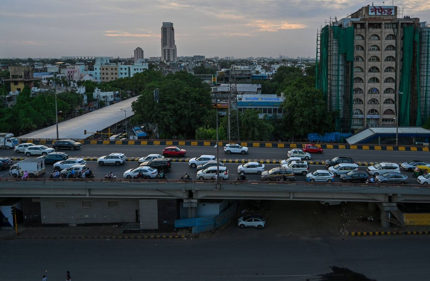
The plan determines where cities and towns may expand, where housing and industry can come up, how transport networks must be built, and which ecologically sensitive areas must be protected.
The region it covers, NCR, spans 55,083 sqkm and has nearly doubled in size since the first Regional Plan was notified in 1989.
The plan proposes four greenfield cities, at least one in each NCR state, to be developed along Regional Rapid Transit System (RRTS) corridors to absorb future population growth and reduce pressure on existing urban centres.
The plan also includes new zones for implementing environmental regulations, dividing NCR into three zones for pollution rules.
The core area will be defined by the Kundli-Ghaziabad-Palwal and Kundli-Manesar-Palwal expressway networks, with restrictions calibrated to their distance from the core.